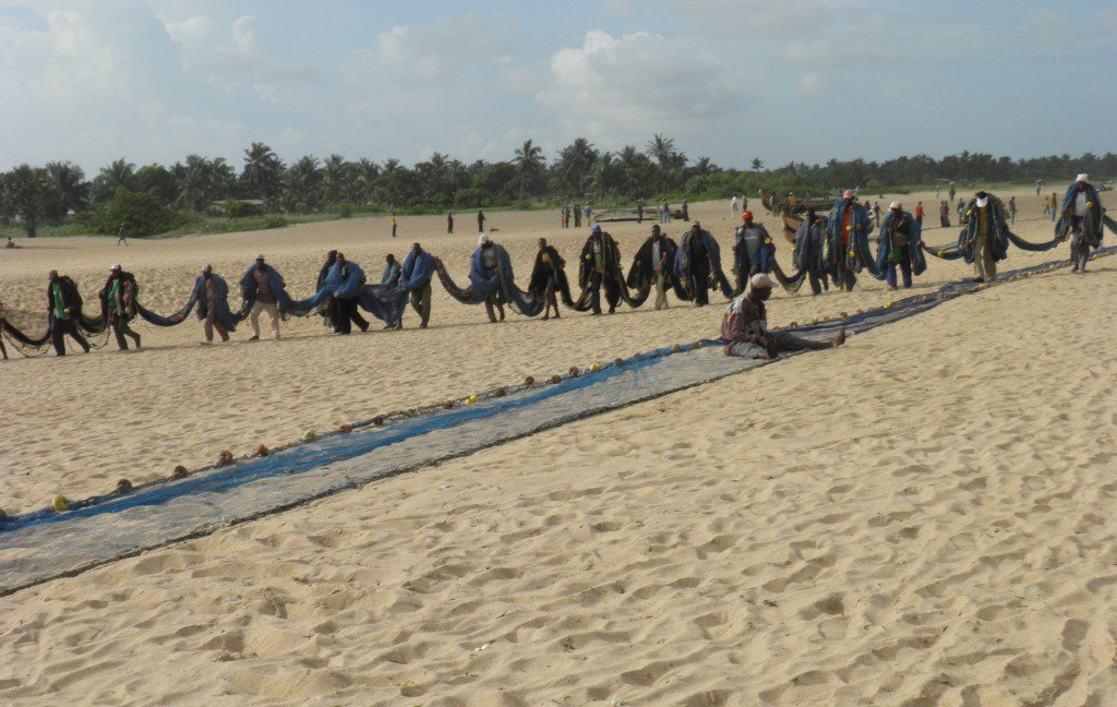
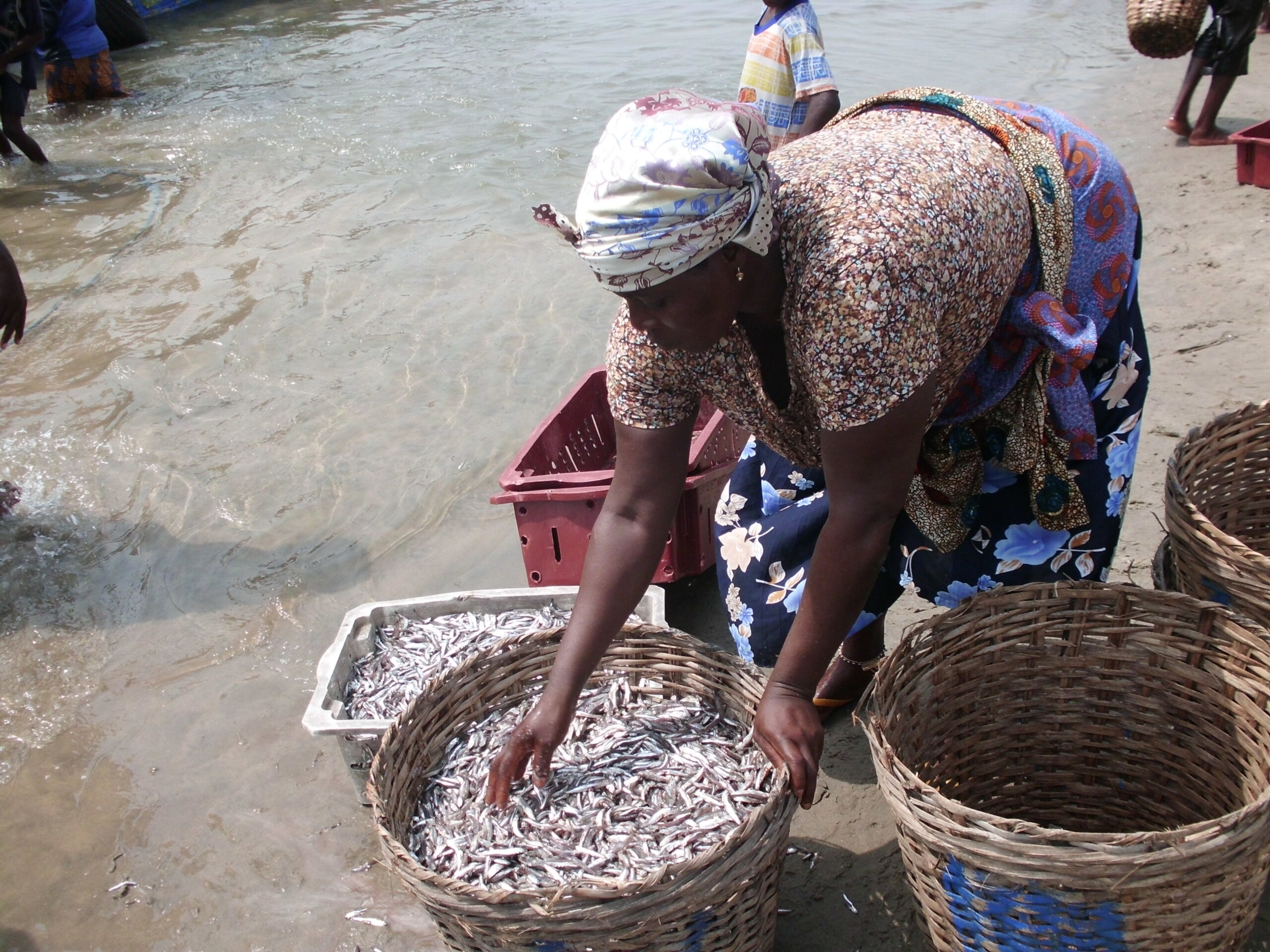
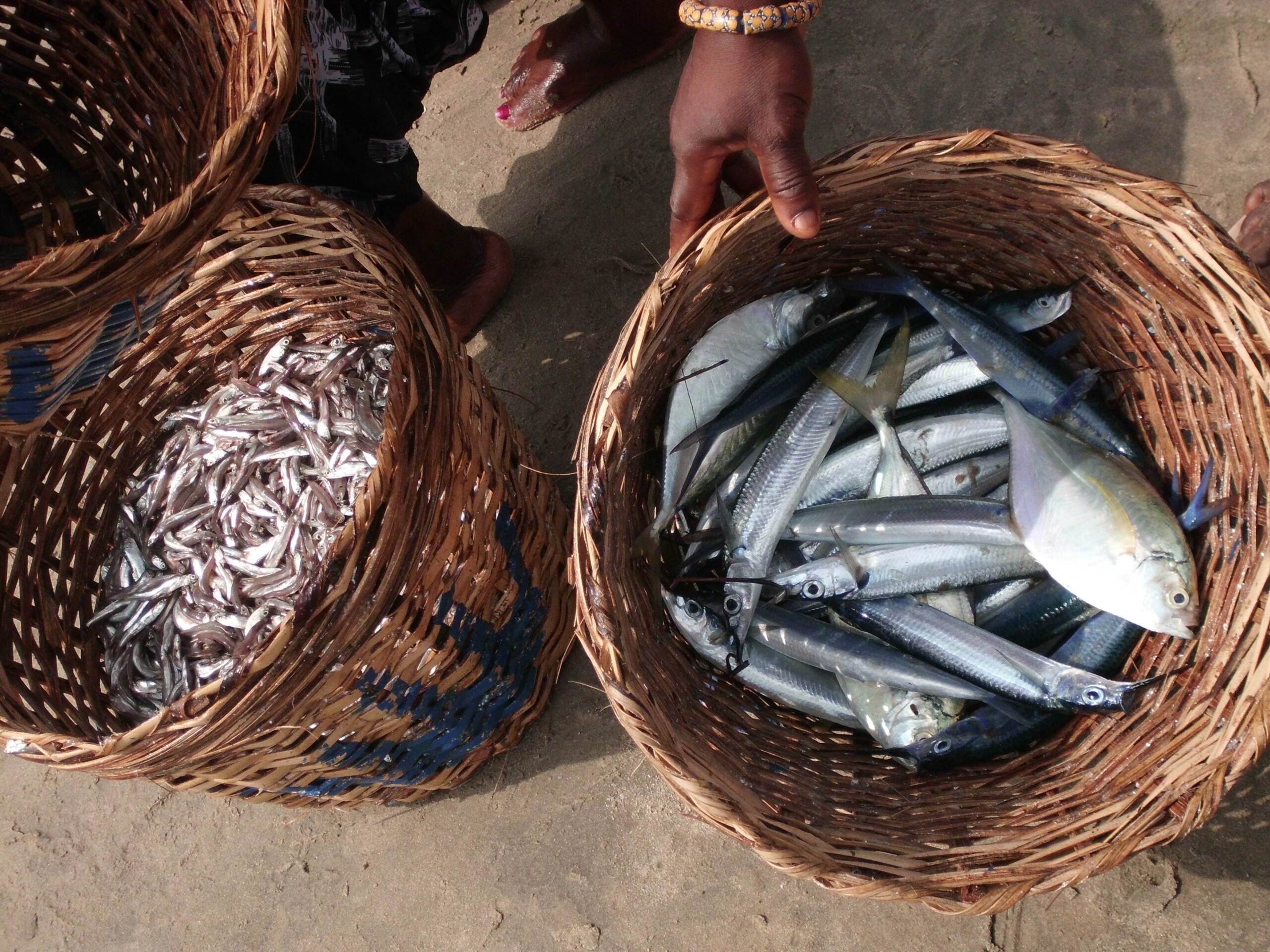
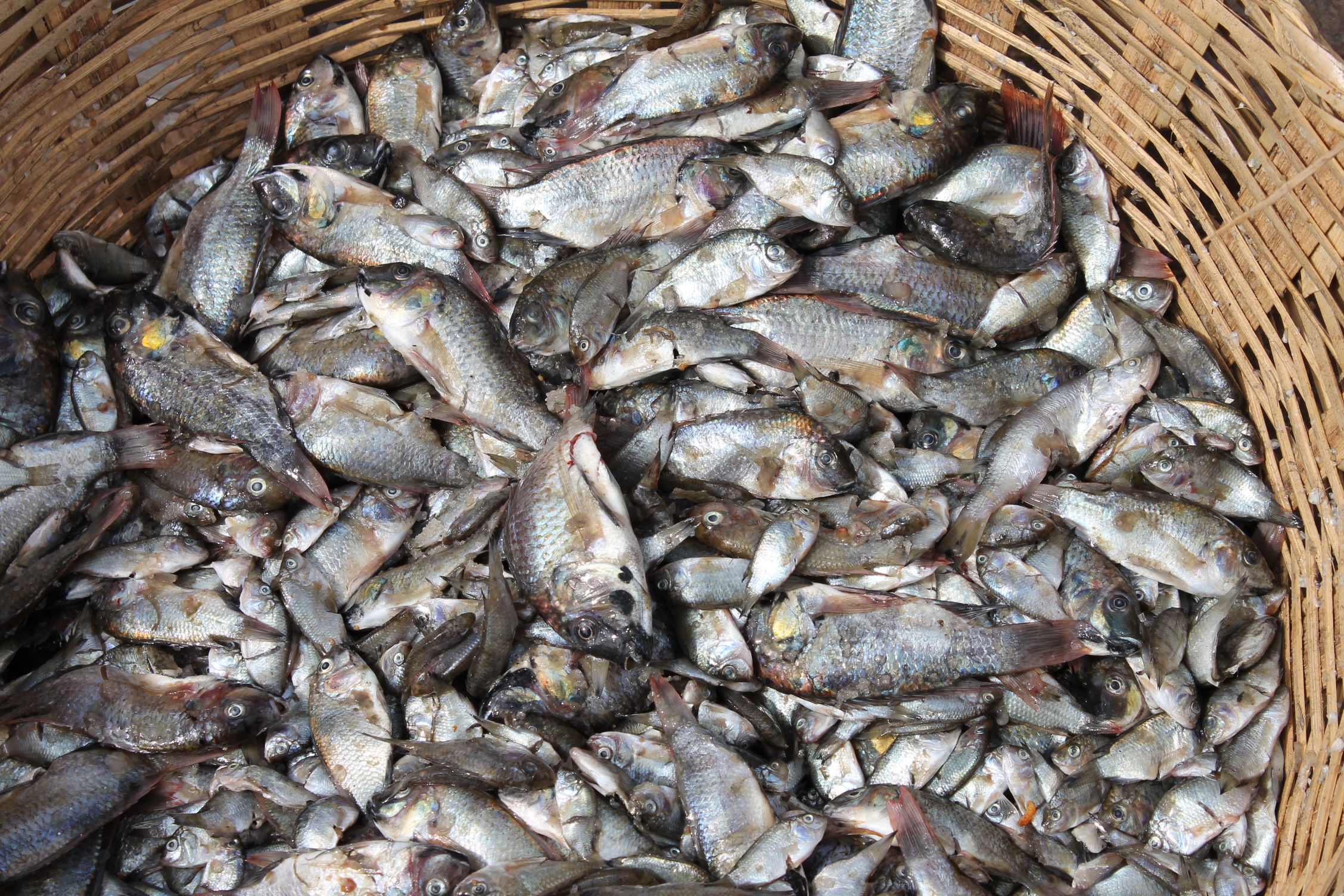
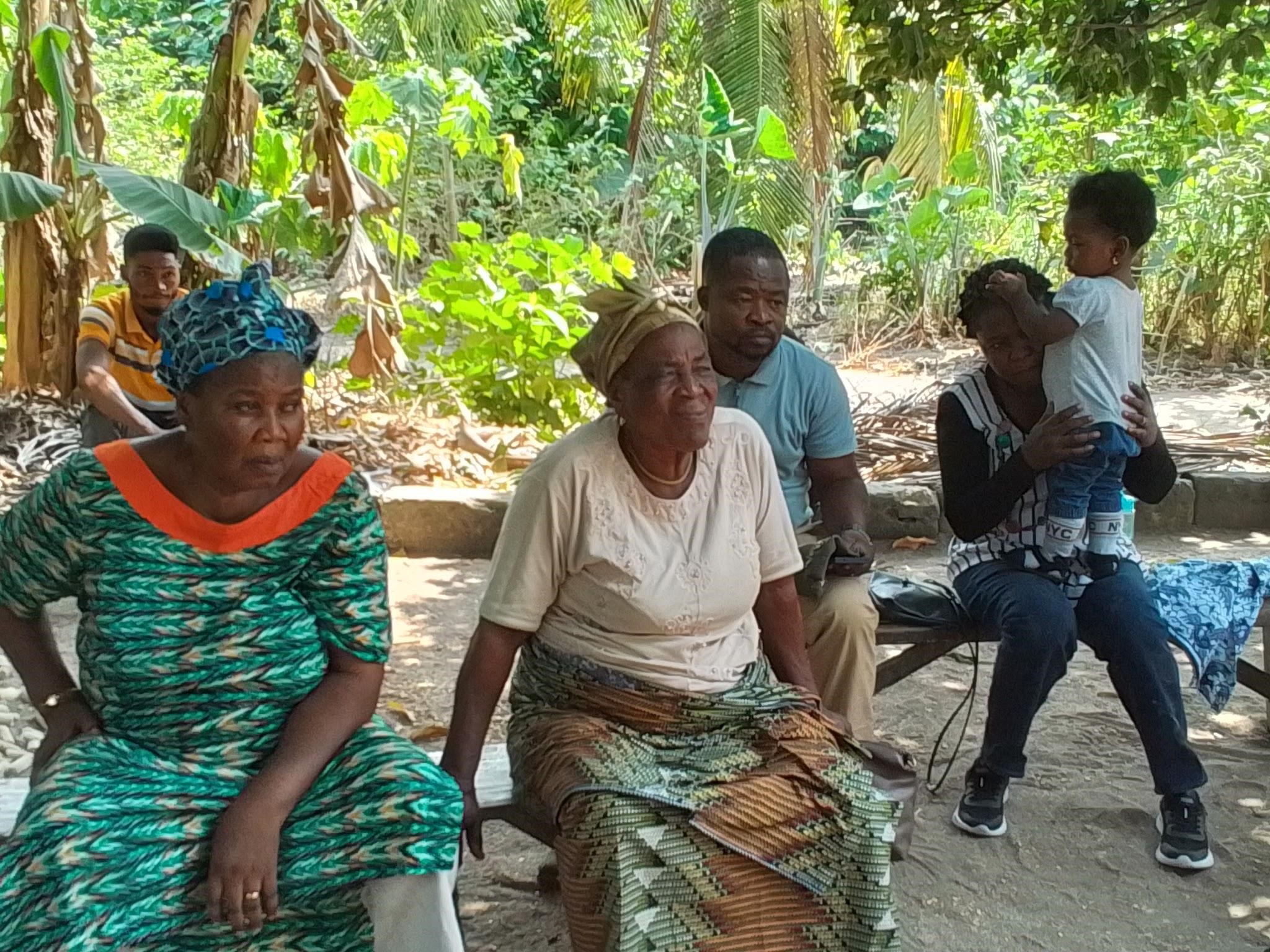
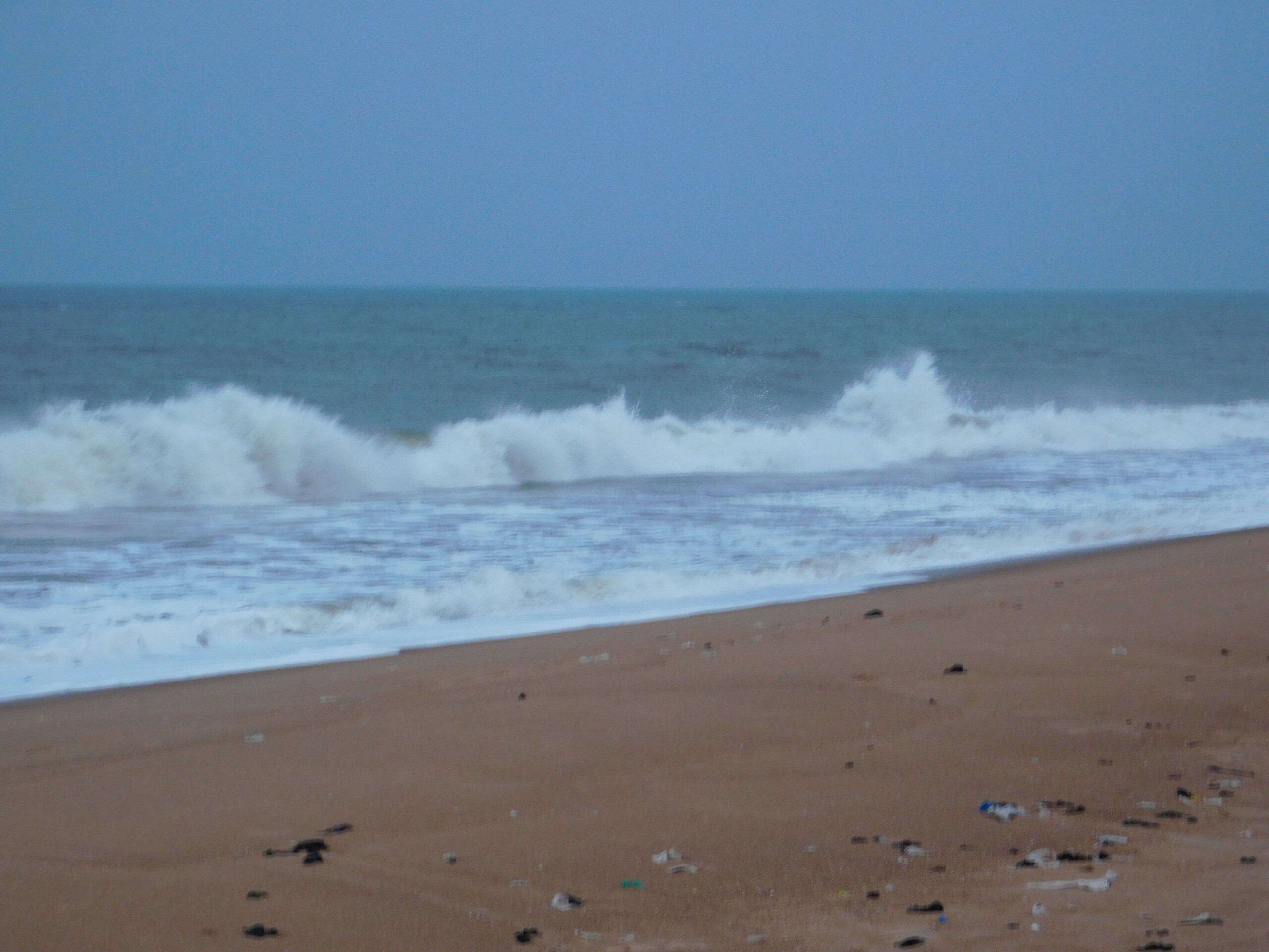
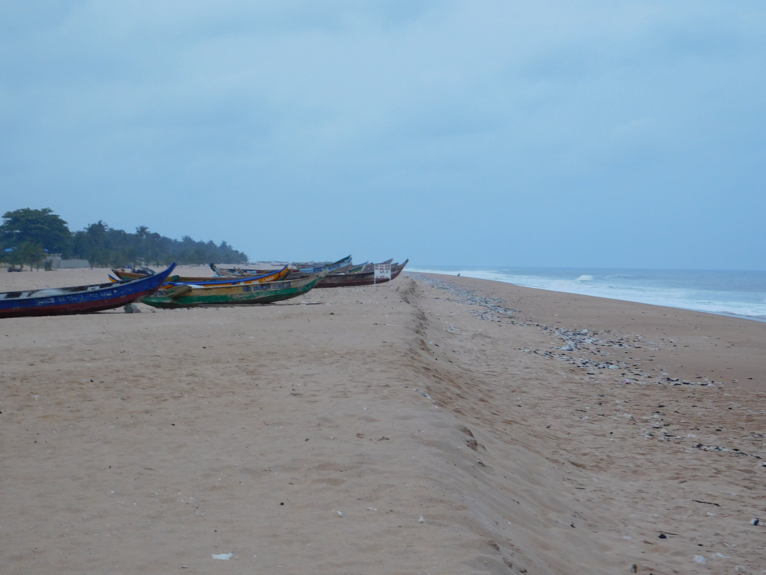
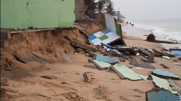
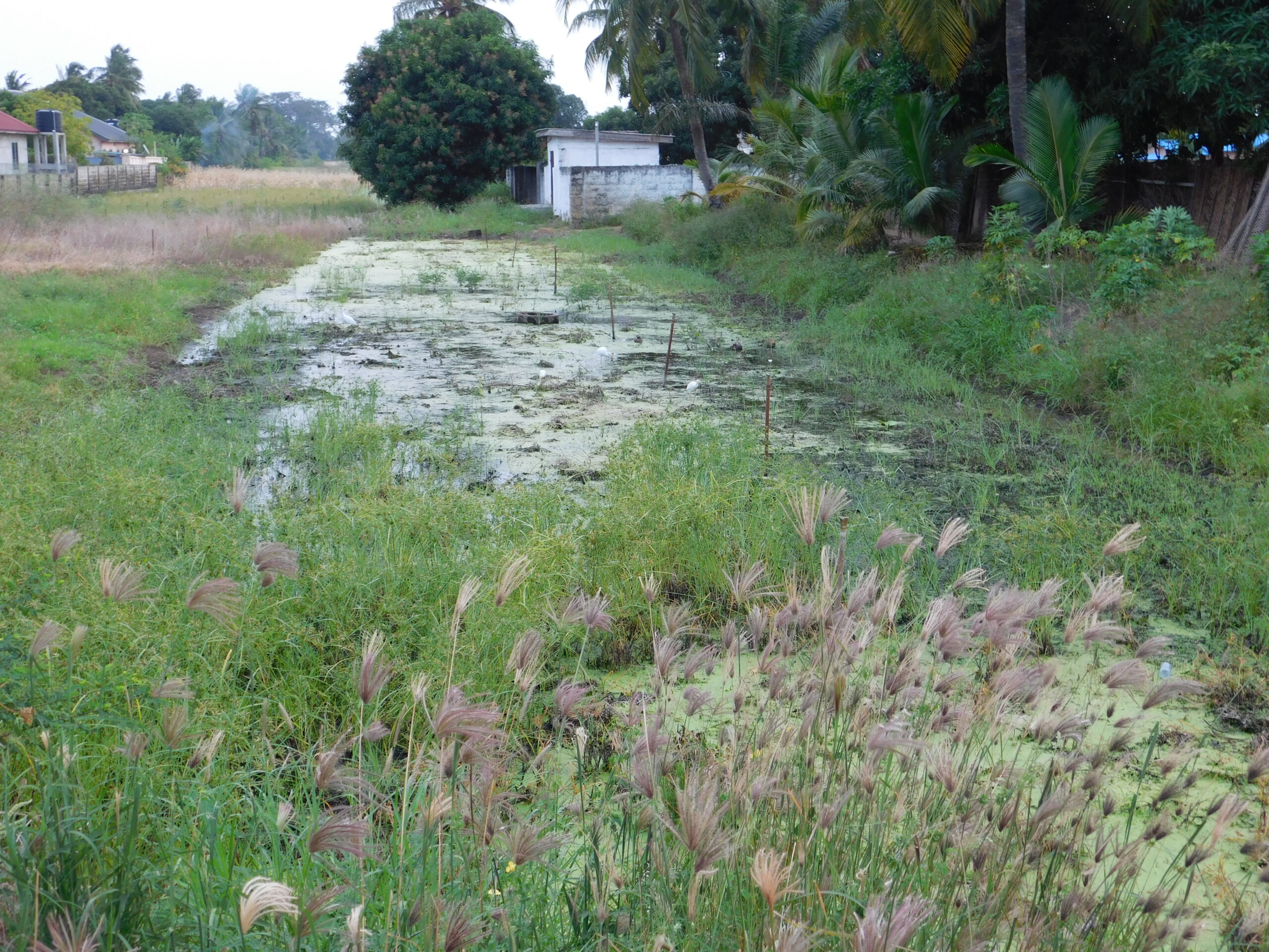
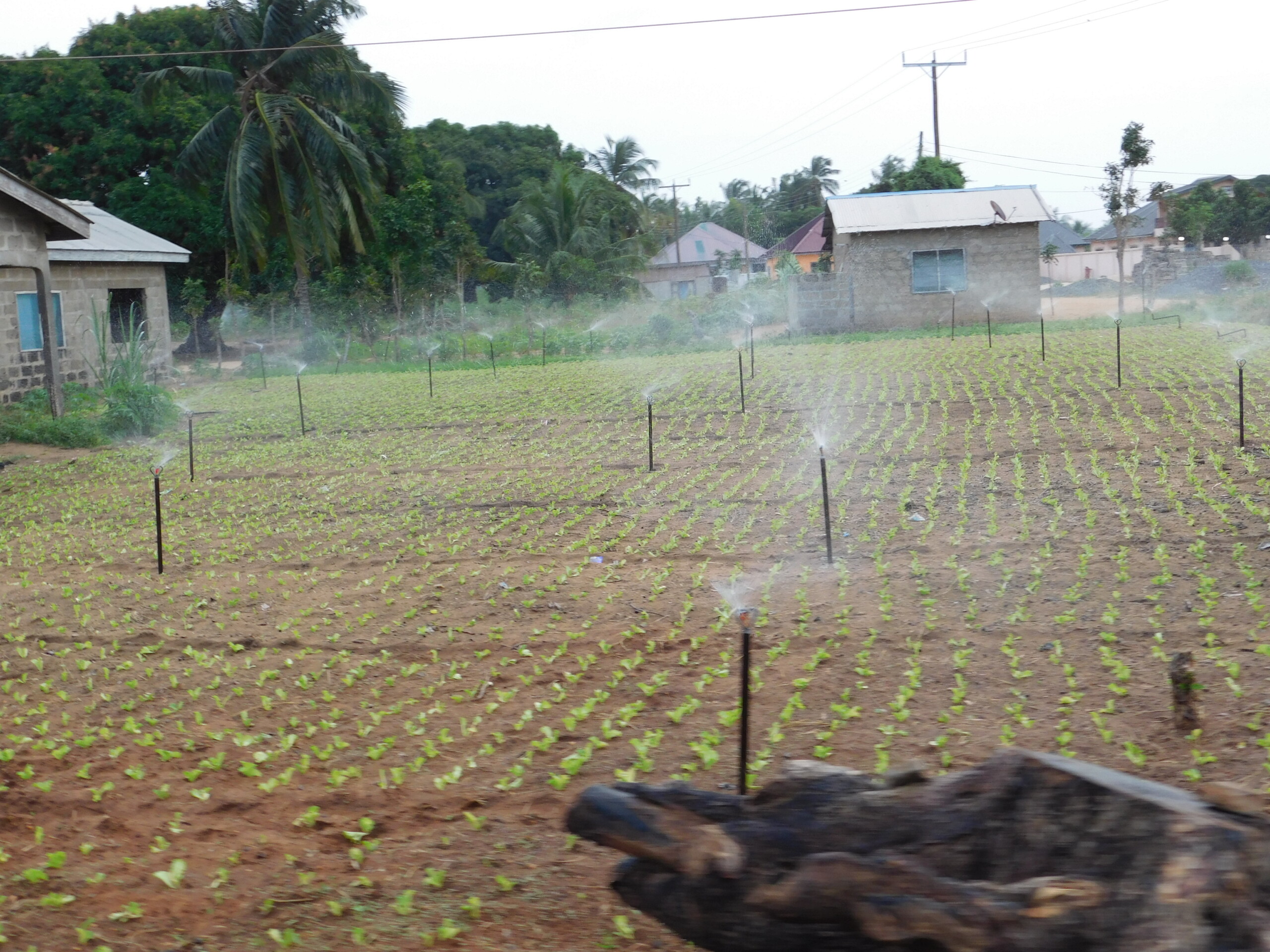
The Keta Basin, in the south-eastern part of Ghana, is a rural and densely populated region of coastal plains mainly drained by the Volta River, and experiencing both population growth and urbanisation. Agriculture including livestock rearing and fisheries, salt and sand mining, construction, trade, transport, and eco-tourism are key sectors in this region.
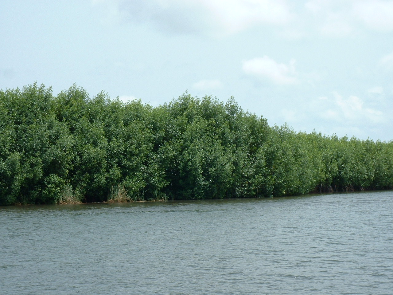
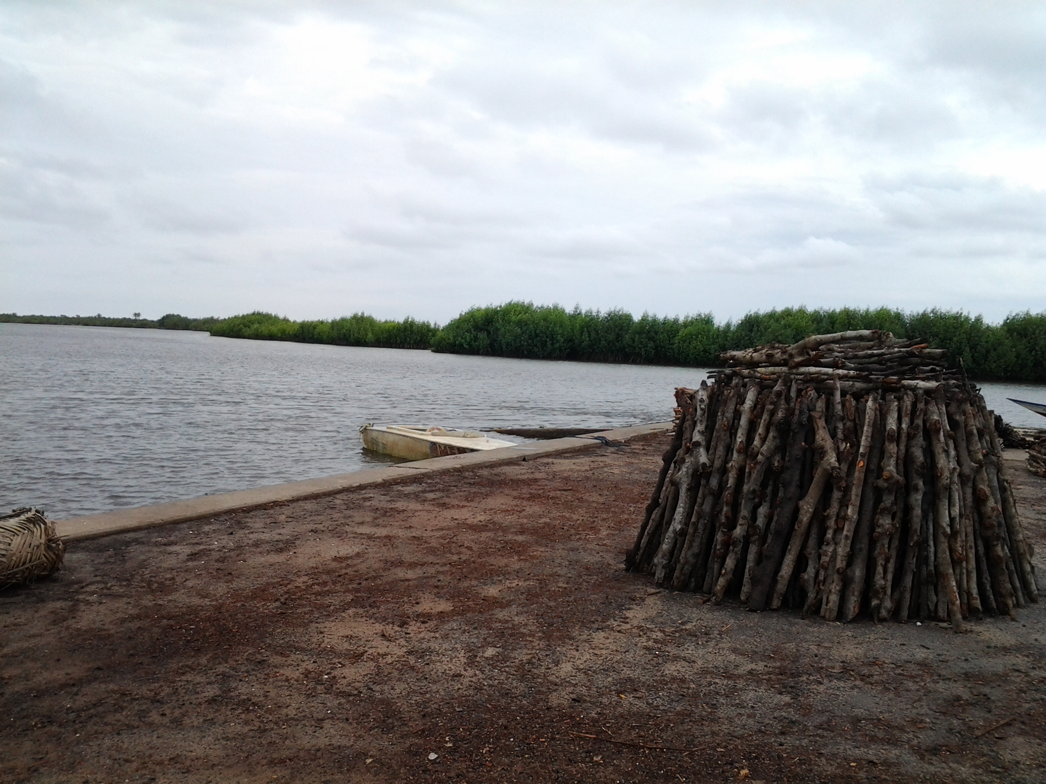
Nature-based solutions such as mangrove restoration and the establishment of community woodlots for alternative fuelwood are actively being implemented by community members. In response to the priorities identified through engagement with local stakeholders, ALBATROSS is supporting the integration of climate services into the planning and management of these interventions. A key focus is the development of reliable weather forecasts, seasonal outlooks, and climate projections. These tools will be translated into local languages and complemented by training, enabling communities to interpret and apply climate information effectively in the decision-making processes for sustainable nature-based solutions.
Interventions to date:
- Identification of the community needs for improving mangrove and woodlots management.
Expected benefits:
- Community members, students and government and non-governmental intermediaries are equipped with resources, including training, awareness-raising activities, and access to climate services, to support climate-smart strategies for mangrove restoration, coastal protection, and sustainable agriculture in community woodlots
Hub coordinator and main implementer of interventions:
University of Ghana
Keta Basin Hub, Ghana
Keta, Ghana
- Region: Western Africa
- Climate: Tropical wet-dry or Savanna (Aw)
- Main meteorological hazards: Coastal erosion, coastal flood, extreme heat
- Nature-based solutions supported: Mangrove restoration and woodlots.
- Intervention: Enhance the community management of Mangroves and Woodlots by the integration of climate services
Keta Basin Hub, Ghana
- Region: Western Africa
- Climate: Tropical wet-dry or Savanna (Aw)
- Main meteorological hazards: Coastal erosion, coastal flood, extreme heat
- Nature-based solutions supported: Mangrove restoration and woodlots.
- Intervention: Enhance the community management of Mangroves and Woodlots by the integration of climate services