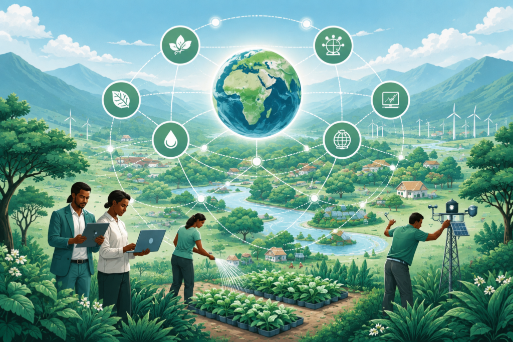
ALBATROSS Portal

ALBATROSS has launched the ALBATROSS Portal, a digital space for collaborative networking dedicated to securing long-term climate adaptation across Africa. It combines available global geospatial datasets with indigenous knowledge and citizen science observations, ensuring that the adaptation strategies displayed are culturally relevant and community-led.

Moreover, it aims to guide users with different expert backgrounds to the most suitable tools, offering direct links to them on the home page for policymakers (directing ot the policy observatory), researchers or scientists (inviting them to visit the interactive map), citizens or students (bringing them to the citizen science toolkit), and adaptation planners (being brought to the needs-based toolkit). A short description of each of these sections is provided below:

Policy Observatory:

The Policy Observatory offers a searchable database of over 250 climate-relevant policies and frameworks across Africa. This tool helps policymakers and government officials align their local resilience strategies with international standards and national adaptation plans.

Interactive map:

The Interactive Map page serves as the central visual gateway for all geospatial information within the ALBATROSS project. It is designed to be user-friendly and intuitive. It provides stakeholders with a powerful tool to explore, analyse, and visualise climate-related data across various geographical scales.

Citizen science toolkit:

The citizen science toolkit is the primary mechanism for gathering data from local communities and youth participants. It empowers citizens to document climate impacts through structured data forms and storytelling videos, effectively validating large-scale climate data with real-world lived experience.

Needs-based Adaptation Toolkit:

This is a localised decision-support tool tailored for small-scale farmers and community centres. It translates complex atmospheric and soil data into simple, actionable guidance through a highly accessible, pictographic interface that avoids technical jargon. By providing daily farming advice (such as ideal planting windows, pest alerts, and crop suitability recommendations), the toolkit helps vulnerable populations manage their agricultural cycles more effectively in the face of fluctuating weather patterns.